 🔍 Tap to enlarge
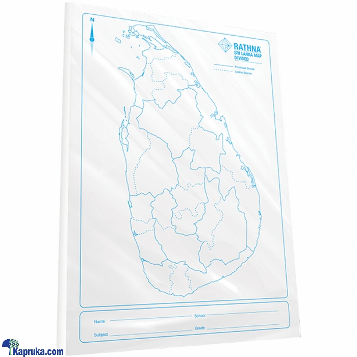
MAP SRILANKA DISTRICT
NewAvailable now
- No stock to buy. We pack and deliver.
- You set your own selling price and keep the profit.
- Customers pay cash on delivery.
🗺️ Product Type: Educational Wall Map / Administrative District Chart (Sri Lanka)
📐 Size / Format: Standard Classroom Wall Chart / Reference Study Map Size
🧵 Material: Laminated Heavyweight Paper / Durable Cardstock
🎨 Design: High-definition color-coded map depicting all 25 administrative districts across the 9 provinces of Sri Lanka, complete with district capitals and major transport networks
📚 Usage: Ideal for school geography lessons, government office references, competitive exam prep, social studies, and logistics planning
🛡️ Build: Wipe-clean double-sided lamination providing tear resistance, water protection, and long-lasting durability
🏬 Packaging: Rolled in a protective plastic sleeve or packed flat for easy retail display and stationery rack placement
- Create a free reseller account and see the wholesale price.
- Set your own selling price and place the order with your customer's address.
- We confirm it, the supplier packs it and a courier delivers it.
- Your customer pays cash on delivery and your profit is paid to you.