 🔍 Tap to enlarge
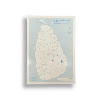
MAP SRILANKA RIVER
NewAvailable now
- No stock to buy. We pack and deliver.
- You set your own selling price and keep the profit.
- Customers pay cash on delivery.
🗺️ Product Type: Educational Wall Map / Educational Chart (Sri Lanka Rivers Network)
📐 Size / Format: Standard Classroom Wall Chart / Desk Reference Map Size
🧵 Material: Laminated High-Grade Paper / Heavyweight Laminated Cardstock
🎨 Design: High-definition, color-coded cartographic print displaying major rivers (Mahaweli, Kelani, Kalu, Walawe), tributaries, basins, and coastal outlets across Sri Lanka
📚 Usage: Ideal for school geography classes, educational study, reference libraries, home study rooms, and tourism offices
🛡️ Build: Water-resistant, tear-resistant plastic coating on both sides for longevity and wipe-clean maintenance
🏬 Packaging: Flat or rolled in protective sleeve packaging ready for stationery rack display
- Create a free reseller account and see the wholesale price.
- Set your own selling price and place the order with your customer's address.
- We confirm it, the supplier packs it and a courier delivers it.
- Your customer pays cash on delivery and your profit is paid to you.